Silas Toms
Znaleziono: 2 pozycje
Sortuj według:
- Popularność rosnąco
- Popularność malejąco
- Od najstarszych
- Od najnowszych
- Cena rosnąco
- Cena malejąco
- Tytuł od A do Z
- Tytuł od Z do A
- Autor od A do Z
- Autor od Z do A
- Wydawca od A do Z
- Wydawca od Z do A
Popularność malejąco
Wyświetl:
- 20
- 40
- 80
20

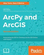
ArcPy and ArcGIS
Automating ArcGIS for Desktop and ArcGIS Online with Python
Use Python modules such as ArcPy, ArcREST and the ArcGIS API for Python to automate the analysis and mapping of geospatial data.
Key Features
...

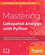
Mastering Geospatial Analysis with Python
Explore GIS processing and learn to work with GeoDjango, CARTOframes and MapboxGL-Jupyter
Explore GIS processing and learn to work with various tools and libraries in Python.
Key Features
Analyze and process geospatial data usi...
Znaleziono: 2 pozycje
Sortuj według:
- Popularność rosnąco
- Popularność malejąco
- Od najstarszych
- Od najnowszych
- Cena rosnąco
- Cena malejąco
- Tytuł od A do Z
- Tytuł od Z do A
- Autor od A do Z
- Autor od Z do A
- Wydawca od A do Z
- Wydawca od Z do A
Popularność malejąco
Wyświetl:
- 20
- 40
- 80
20


